
Charleston Neighbor Records by Block
Charleston neighbor research begins with geography, not a bulk list of people. The parcel viewer shows how tax parcels fit together. The assessor record attaches an owner, mailing address, situs address, value, and class to each parcel. Deeds and plats resolve title or lot questions. Voter data and old directories can provide a separate resident clue, while city permit records describe work at an address. None is a full census of current occupants.
| Charleston block source | What it can show | How to reach it |
|---|---|---|
| WV Property Viewer | Address location, parcel geometry, adjacent parcels, flood and district context | Free statewide viewer |
| Kanawha assessor roll | Owner, mailing and situs addresses, parcel, class, value, and tax year | IAS search; assessor phone and office fallback |
| County voter file | Specified registration and residence fields, subject to statutory limits | Lawful inspection or request to voter office |
| City permit and code files | Project address, applicant, permit, inspection, or official action | Development Services or city FOIA |
| Community associations | Boundaries, events, projects, and public contacts | Association and city planning pages, not member rolls |
| Charleston directories | Past names printed at addresses in a given year | KCPL, Archives, and WVU collections |
Always preserve the record date. A current tax owner may be a company, estate, trust, or person who receives mail elsewhere. A directory entry reflects its publication cycle, and a voter record reflects registration rather than guaranteed present occupancy. Treat agreement across two dated official sources as stronger than one isolated name.
Start Charleston Blocks on the Map
The WV Property Viewer is the broad fallback for locating a full address and reading nearby parcel geometry. Its tools include address, parcel attributes, geometry, coordinates, flood information, and district layers. Select the subject parcel, copy its parcel identifier, and then click the polygons that touch its sides or rear and those facing it across the street. That produces a defined block sample instead of an unclear radius.
See the successful statewide viewer capture used for Charleston research.
The map gives a geographic lead. Because tax maps are not legal surveys, parcel edges must be confirmed through deeds, plats, the assessor, or a survey when the exact boundary matters.
Map Charleston Neighbors to Owners
Move from map shape to tax record one parcel at a time. The county assessor's IAS interface can search by owner, address, parcel, book and page, class, ZIP, and tax year. The online service displayed a maintenance notice during inspection, so save parcel IDs and use the assessor at 304-357-0250 or real-estate desk at 304-357-0256 when the portal is unavailable.
- Locate the full E-911 address and copy its parcel or GIS identifier.
- Click each adjacent or facing parcel and make a short parcel list.
- Confirm each parcel in the assessor record, noting owner, situs address, mailing address, and tax year.
- Use the legal description, lot and block, plat, or deed when a visual edge is unclear.
- Keep ownership separate from occupancy unless another dated source supports both.
This method is intentionally small. For a complete named road and its address-keyed sources, use the Charleston street directory workflow. A block inquiry should not expand into an unrestricted list of people.
Charleston Voter Data Has Limits
West Virginia Code §3-2-30 makes specified voter-file information inspectable, including name, residence address, party, status, registration, and voting history. It withholds phone, email, Social Security number, driver's-license number, and state-ID number. The public online lookup is designed for a person to check registration with first name, last name, and date of birth. It is not a block browse.
A lawful block-level request goes to the Kanawha County voter-registration office at 415 Quarrier Street, 304-357-0110. State request options include full or partial files with county, district, or precinct choices. Do not republish a street roster. Use voter information as a dated registration clue and preserve every statutory restriction.
Charleston Address Files Add Context
The Charleston Building Commission handles permits, plan review, inspections, vacant structures, citations, and dilapidated structures from 915 Quarrier Street, Suite 5. No public permit-search portal was found. Request a file by exact address, approximate project year, and permit type through Development Services or the Charleston FOIA form. The form asks for contact details and a specific description of the information sought.
A permit may name an owner, applicant, architect, or contractor. It does not prove who lived there. Code Enforcement records have similar limits, and complainant identity is described as confidential. An allegation or courtesy notice must not be treated as proof that a Charleston neighbor committed a violation.
Charleston Neighborhood Contacts
Community organizations add local names, boundaries, meeting dates, projects, and contacts. They do not supply lists of residents. Charleston's planning report names the West Side Neighborhood Association, East End Community Association, Kanawha City Neighborhood Association, and CURA as community or planning partners.
West Side
The association says it began in 1996 and describes boundaries from the Elk River to the Kanawha River, west to the Dunbar line and along Route 25 to Sugar Creek.
Kanawha City
The community association publishes events and a contact layer. Its P.O. Box 4423, Charleston, WV 25364 is an organizational mailing point, not a member-residence map.
East End and CURA
City planning material names both. A similarly named East End nonprofit was revoked in 2008, so a community label and active legal entity are separate facts.
View the captured Kanawha City Community Association page.
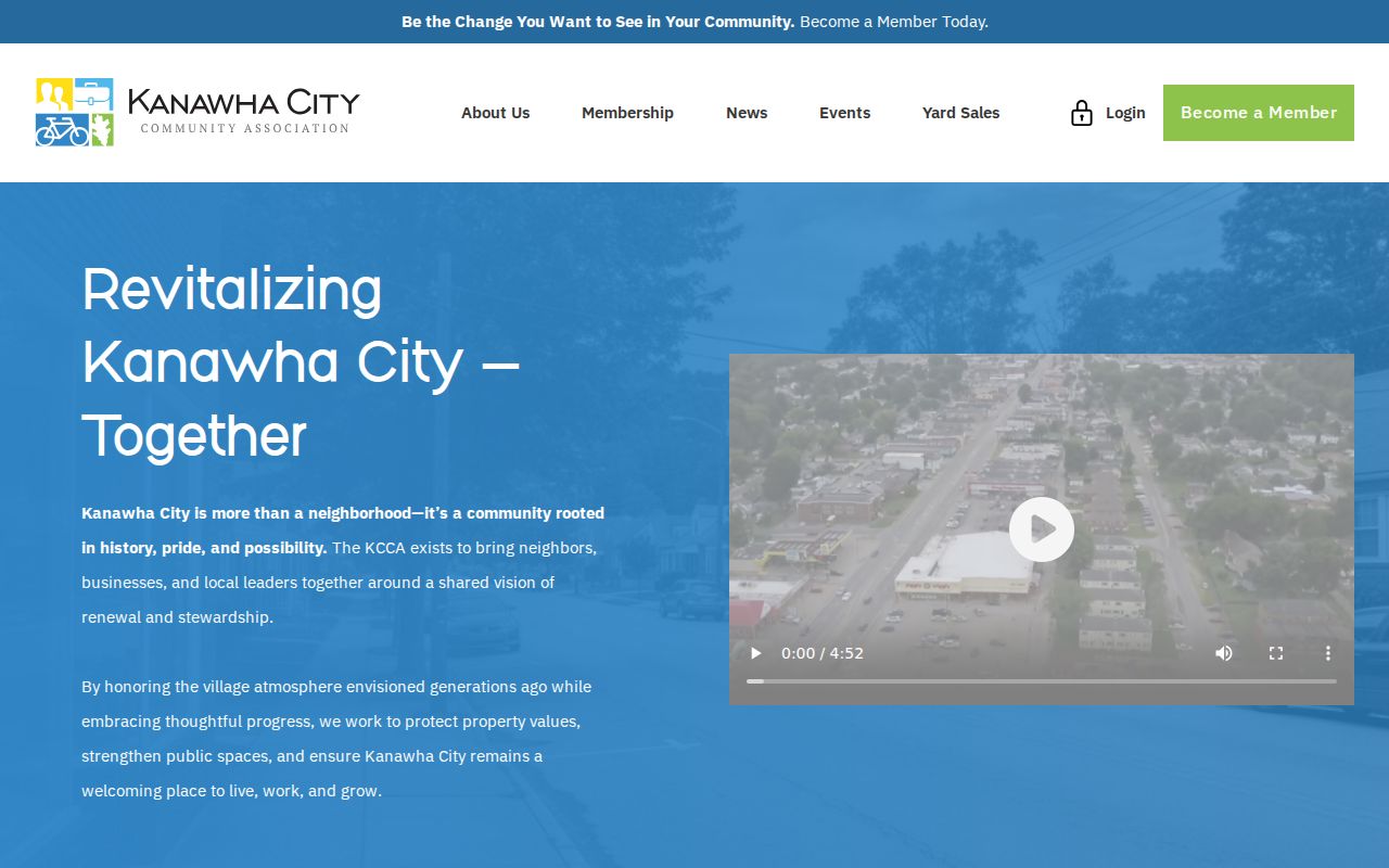
The page shows the association's mission, events, and public contact route without presenting itself as a directory of Charleston neighbors.
The Charleston Metro Chamber directory offers a second organization-level view by keyword, category, ZIP, and alphabetic listing.
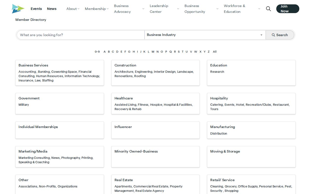
Its entries identify organizations and public business contacts, not the people who live on a Charleston block.
Official Charleston Rolls Versus Tools
Commercial neighbor tools often blend old public data without clear dates or custodians. Official sources are narrower, but they identify the office, field, and record date. That makes errors easier to check and protected data easier to respect.
| Source type | Strength | Limit |
|---|---|---|
| Assessor and GIS | Parcel and recorded tax-owner context | Owner is not necessarily occupant |
| Voter office | Statutory registration fields | Restricted fields and protected addresses stay closed |
| City records | Address-specific official action | Applicant or complainant is not proof of residence |
| Commercial category | May combine broad leads | Dates, sources, and correction paths may be unclear |
Start corrections with the record custodian. Removing a commercial listing does not change a deed, tax roll, voter file, or city record.
Charleston Neighbors Change Over Time
KCPL holds Polk's Charleston directories from 1908 to the present for in-library use. Archives volumes begin in 1874-75, and WVU has segmented microfilm runs through 1988. A historical street section, when available, can show names printed near one another. That is a picture of a publication year, not today's block.
The January 1884 Sanborn map adds building footprints and uses, while the East End historic district contains about 400 buildings and was listed in April 1978. These sources explain how the physical block changed. No official universal street-renumbering crosswalk was located, so a modern and old address should be linked only through a dated plat, deed, planning action, cross streets, or other local record.
Protect Charleston Neighbors' Privacy
The assessor can expose an owner, parcel, situs, mailing address, class, value, and map information. Deeds can show parties and legal descriptions. Those public fields do not authorize the collection of full birth dates, Social Security numbers, driver or state-ID numbers, protected victim data, or restricted court and vital information. Nor do they prove the names of renters or all members of a household.
The West Virginia Address Confidentiality Program provides a substitute address and mail forwarding for qualifying victims. Participation lasts four years and may be renewed. Never compare records to uncover a participant's real location. The program is reached at 866-767-8683 or acp@wvsos.gov.
Lawful use. Use Charleston neighbor records for civic curiosity, reconnection, and personal safety. Never watch, threaten, harass, intimidate, or harm another person.