
Charleston ZIP Directory Coverage
The official West Virginia Blue Book groups a broad set of postal codes with Charleston. Its edition is from 2015–16, so the list is a starting inventory, not a live delivery guarantee. The source does not support assigning each code to a named neighborhood or labeling every code as residential. USPS controls current address delivery, and its full-address result should settle the postal line.
| ZIP Code | Areas Covered | Post Office | Notes |
|---|---|---|---|
| 25301–25306 | Charleston-associated routes | Verify by full address | May include nearby delivery areas |
| 25309 | Charleston-associated route | Verify by full address | May extend beyond city polygon |
| 25311–25315, 25317 | Charleston-associated routes | Verify by full address | No official neighborhood table located |
| 25321–25339 | Extended associated range | Verify each address | Do not guess specialized uses |
| 25350, 25356–25362 | Charleston-associated routes | Verify each address | Not a city-limit map |
| 25364–25365, 25375 | Associated mailing routes | Verify each address | 25364 appears on an association PO box |
| 25387, 25389, 25392, 25396 | Associated codes | Verify each address | No official classification captured |
No official Charleston postal boundary map, ZIP realignment history, or exhaustive ZIP-to-neighborhood table was located. That gap is important. A current ZIP code directory should preserve the Blue Book association while sending a specific address to the USPS tool. Never fill missing classifications from memory or infer that a specialized-looking code maps a residential area.
The grouped rows also avoid a false level of detail. They say only what the official source supports: the codes were listed with Charleston. A reader researching one parcel should break the range apart and check the full address. That extra step prevents an old state reference from being treated as present-day postal proof.
Verify Charleston Postal Codes
The USPS ZIP Code Lookup is the authoritative live route for a full address. Enter the street number, street name, city, and state, then retain the returned city and state line, five-digit ZIP, and ZIP+4. An alternate city name in the result is a postal fact, not evidence that the parcel falls inside or outside Charleston.
Search the complete delivery address when possible. Looking up only a city name can return a set of codes without showing which one serves the door in question. If USPS standardizes the street suffix, directional, unit, or city line, keep that form beside the original wording. It can explain why the same Charleston address failed in another index.
The USPS lookup screen is the assigned source image for the Charleston ZIP code directory.
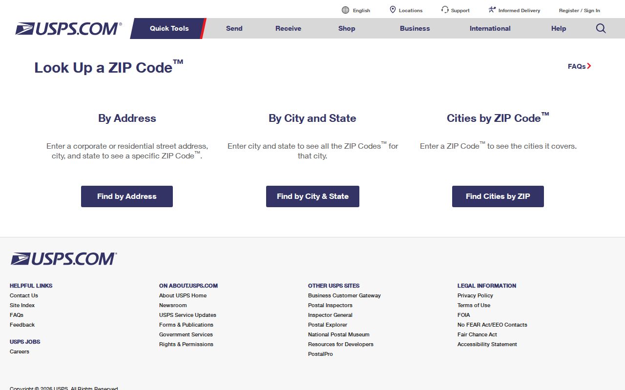
Use what USPS returns as the delivery code, then move to parcel and municipal sources for land and city-limit questions.
Filter Charleston Records by ZIP
The Kanawha County property route uses the WV IAS advanced search. ZIP is an optional text field, not a map boundary or dropdown. Pair it with county, city, street, owner, property address, parcel, or tax year to reduce a large result set. The basic real-property form also provides ZIP, address number, street, owner, class, tax year, and results-per-page controls.
| Search field | Use in a ZIP search |
|---|---|
| ZIP | Enter the verified five-digit code |
| County | Select Kanawha to prevent statewide spillover |
| City and street | Narrow the postal result geographically |
| Owner or organization | Test a known name within the code |
| Tax year | Fix the record to a stated assessment year |
The advanced IAS screen shows the Charleston ZIP filter beside other property fields.
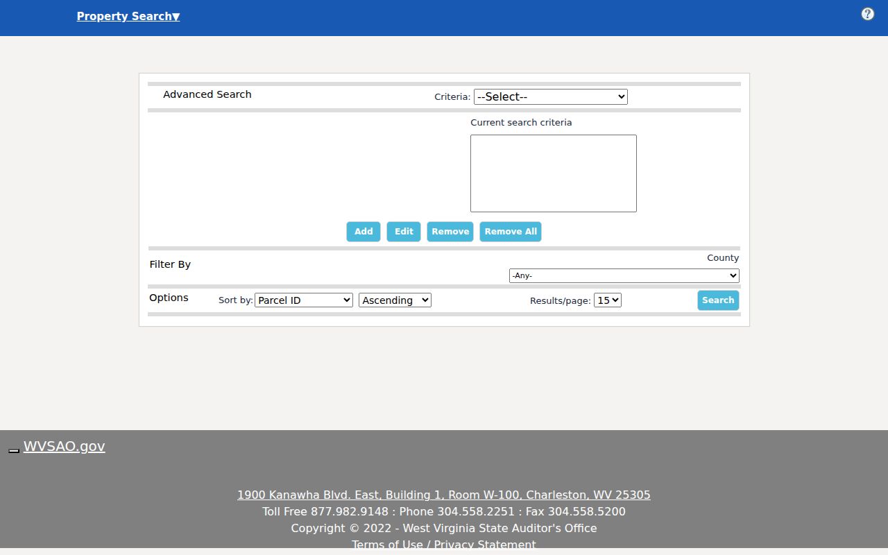
The portal displayed a maintenance notice during research, so keep the Kanawha County Assessor office or data-inquiry page as the fallback rather than treating downtime as no record.
The advanced result is still a tax record. Read its property address and mailing address as separate fields, note the parcel ID and tax year, and avoid converting an owner name into an occupant claim. If the web form stays down, the assessor’s data-inquiry page links current search, map cards, and historical land books, while staff can explain the in-person route.
Narrow Charleston Residents by ZIP
A postal code is best used as a filter, not as a resident list. Confirm the address through USPS, search the tax roll for parcels, and inspect each result’s situs field. Situs means the physical property address. The owner’s mailing address may be elsewhere and does not prove who occupies the parcel.
- Run the full street address through USPS and save the returned ZIP and ZIP+4.
- Enter that ZIP in IAS with Kanawha County and a street, city, or owner filter.
- Open candidate parcels in the statewide viewer and compare the situs address and parcel ID.
- Verify any person through the custodian record suited to the question, noting its date.
West Virginia’s individual voter lookup uses first name, last name, and date of birth rather than a public ZIP-wide search. A lawful voter-file request goes through the election custodian and remains subject to the voter statute’s field limits. Once a code narrows to one road, the Charleston street directory explains the street-level record chain.
Do not combine every owner, voter, and organization found under a code into a public roster. Those systems were built for tax administration, election access, and organization records. A ZIP code directory works best as geographic triage: narrow the set, inspect the right custodian record, and verify one person or parcel with a second dated fact.
Map Charleston Parcels After ZIP
The WV Property Viewer follows the postal check. Its E-911 search uses a street address, city, and state. Parcel-attribute mode can search owner, property address, parcel number, and county. The controls captured in research did not provide a ZIP-only boundary layer, so the map should not be presented as a postal code map.
A parcel result can help check the physical location, neighboring polygons, district layers, coordinates, and flood context. Yet the county tax map is based on deed and survey sources for assessment. It is not a legal survey. For a title line or boundary dispute, consult the deed, plat, assessor, and a qualified survey process.
The map also separates a ZIP question from a neighborhood question. Charleston’s East End, West Side, Downtown, and Kanawha City are useful community labels, but their names are not postal classifications. A planning map may describe a neighborhood, while USPS assigns a delivery route and the assessor records a tax district. State which layer supplies each claim.
Charleston’s 25364 Mailing Quirk
The Kanawha City Community Association publishes a post-office box using 25364. That is an organization’s mailing point, not a map of member homes, a neighborhood boundary, or proof that all mail under the code has the same use. It is a compact Charleston example of why mailing identity and physical geography must remain separate.
The Kanawha City Community Association page shows the association address and community context.
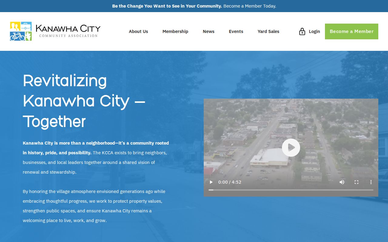
The screenshot supports the mailing-address fact only. It does not classify 25364 as a resident zone or define Kanawha City.
Trace Changed Charleston Addresses
No official citywide renumbering crosswalk or ZIP realignment history was found. When an old Charleston address fails in USPS or modern GIS, the city’s street naming and numbering process offers a record path. Its application records the old and proposed name, address assignment, location, tax map and parcel, block range, cross streets, and a map attachment.
City engineering, utilities, Metro/911, fire, police, traffic, streets, and county planning may review a change. Council journals, recorded plats, historic directories, and dated planning records can prove one street change. Do not assume a current ZIP applies to an address printed before modern postal coding, and do not invent a single Charleston renumbering event.
Charleston ZIPs and City Limits
USPS ZIP Codes are delivery routes. Census ZIP Code Tabulation Areas, or ZCTAs, are generalized statistical areas. Charleston’s incorporated boundary and Kanawha County parcel lines are separate again. A ZIP can cross a city or county line, and a city can contain many routes. A postal city name therefore cannot settle municipal jurisdiction, tax district, zoning, or neighborhood identity.
Use three checks in order: USPS for delivery, the county assessor or GIS for situs and tax geography, and Charleston planning or municipal data for city limits. Census ZCTA data is useful for statistics, but not as a substitute for a delivery result or parcel boundary. The Charleston ZIP code directory keeps those roles apart so one code does not become false proof about a person or place.
Record the date of each check because the sources change on different schedules. Postal assignments can be updated, assessor rolls are tied to a tax year, and planning layers may reflect a separate revision date. If two sources disagree, do not average them or pick the more familiar label. Keep both results, state what each agency measures, and ask the relevant office to resolve its own field.
- ZIP and ZIP+4
- The five-digit route area and a finer four-digit delivery segment.
- PO-box ZIP
- A code used for post-office boxes rather than a mapped set of homes.
- Unique ZIP
- A code assigned to one large organization or delivery recipient.
- Carrier route
- The path a postal carrier follows, which is more detailed than a five-digit code.
Keep the boundaries separate. A Charleston mailing line, tax parcel, census ZCTA, and city limit can all describe different geography.